F L I G H T P L A N N I N G
Kang says, “Business aircraft that are properly equipped
will also gain access to airspaces, procedures and airports
that are normally only available to airlines.
“The efficiency of air traffic operations will also increase
as we switch to global positioning satellite systems as the
primary navigation method. Flight routes will become more
direct with less intermediate fixes.
“Flying over VORs as a navigation fix will become a thing
of the past as navigational precision increases. And, while
more direct routing may only shave off a few minutes per
leg, over the course of a year, that can turn into hours of
flight time saved. This also reduces fuel burn, and general
wear and tear on aircraft.
As well as safety improvements, the advent of ADS-B Out
will have help to reduce costs. For example, Nav Canada
and NATS are using it across the North Atlantic already. A
recent study has shown that it saves up to US$300 per flight
over the North Atlantic. “Space-based ADS-B will change
how people do air traffic control,” says Hocquard. “There’s
huge momentum behind it.”
Space-based ADS-B also means nations yet to build
infrastructure for air traffic management can effectively jump
forward in terms of air traffic management (ATM) without a
large and costly investment. This could potentially open up
new markets to business aviation.
“For example, in Africa it’s difficult to build radar
installations because of the distances involved. Other parts
of the world are really mountainous. Now an ANSP can buy
the surveillance information about an aircraft’s position and
jump straight to the next generation of ATM technology,”
says Hocquard.
58 | BU S INE S S A I R P O RT INT E RNAT I ONA L O C TO B E R 2 0 1 9
ADS-B trials
At the end of March, the Canadian and UK air
navigation service providers, Nav Canada and
NATS (National Air Traffic Service) began a trial
of Aireon’s satellite-based ADS-B system to track
aircraft flying through the world’s busiest piece of
oceanic airspace – the North Atlantic.
The trial has enabled air traffic controllers to
move from a procedural form of control, where
aircraft reported their position every 14 minutes,
to one which is virtually real-time, with updates
every few seconds. This means controllers can
reduce the distance between aircraft and for
aircraft to begin flying at a speed that best suits
them. In addition, there are clear safety benefits
to having real-time surveillance and conformance
monitoring, significantly reducing the risk of
a collision.
The availability of ADS-B data has also enabled
the development of new monitoring tools to
manage separation standards that are distance,
not time, based. These tools determine and
maintain minimum separation between flight
trajectories, providing warnings and alerts when
minima are approached or breached.
Andy Smith, head of strategic oceanic
engagement at NATS says, “The real breakthrough
is the underlying Aireon ADS-B data. Aireon’s
North Atlantic ADS-B performance is outstanding,
updating aircraft position data as frequently as
every four to five seconds with signal latency
of less than one second, frequently better than
many terrestrial surveillance sources.”
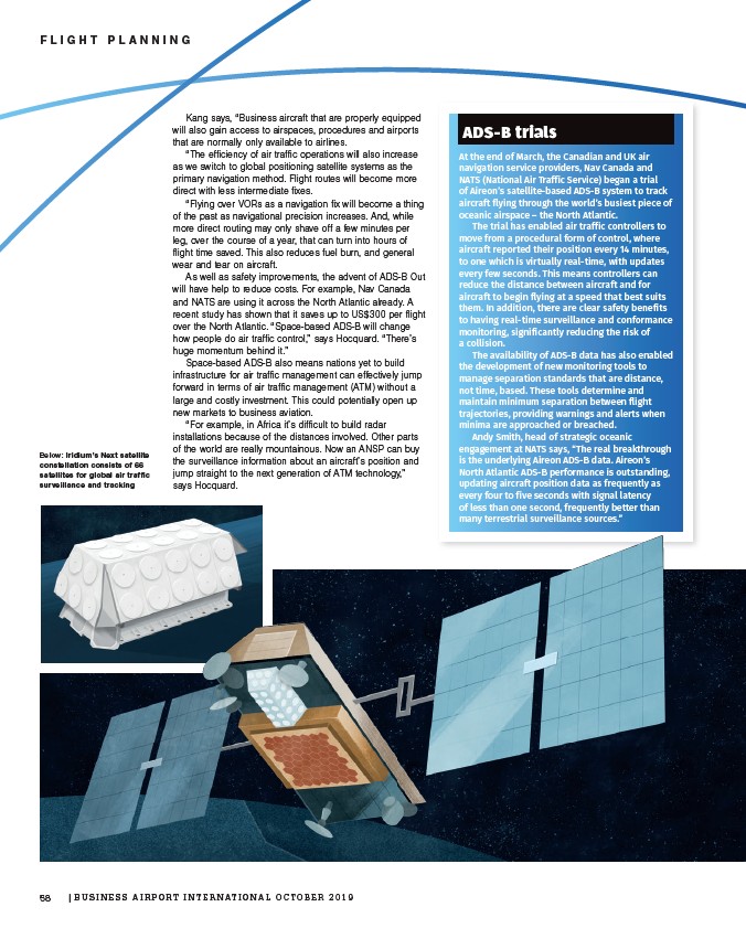
Below: Iridium’s Next satellite
constellation consists of 66
satellites for global air traffic
surveillance and tracking