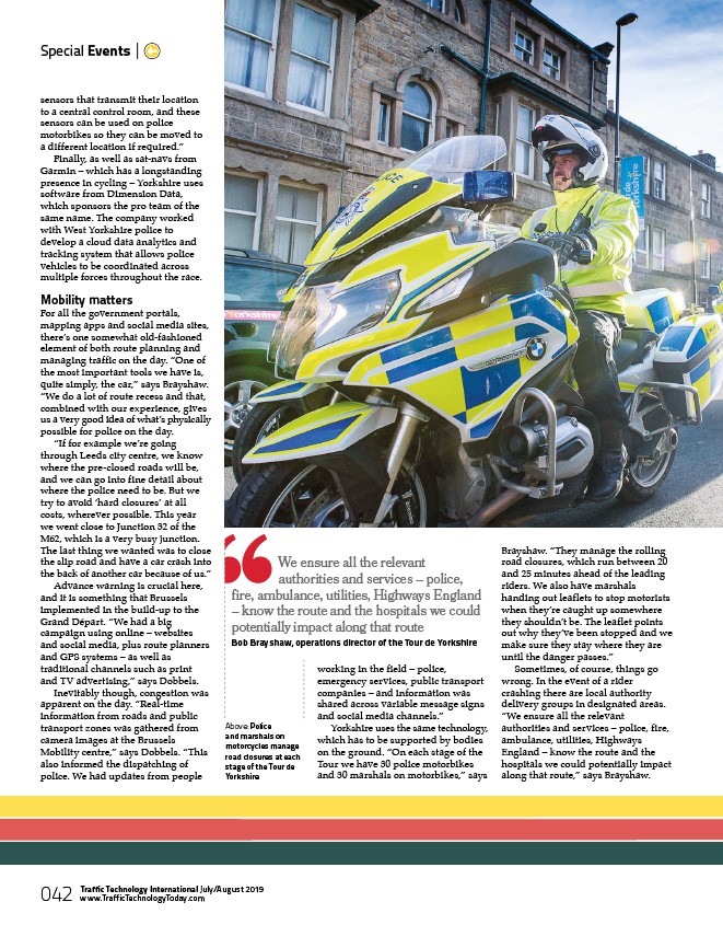
Above: Police
and marshals on
motorcycles manage
road closures at each
stage of the Tour de
Yorkshire
Special Events |
sensors that transmit their location
to a central control room, and these
sensors can be used on police
motorbikes so they can be moved to
a different location if required.”
Finally, as well as sat-navs from
Garmin – which has a longstanding
presence in cycling – Yorkshire uses
software from Dimension Data,
which sponsors the pro team of the
same name. The company worked
with West Yorkshire police to
develop a cloud data analytics and
tracking system that allows police
vehicles to be coordinated across
multiple forces throughout the race.
Mobility matters
For all the government portals,
mapping apps and social media sites,
there’s one somewhat old-fashioned
element of both route planning and
managing traffic on the day. “One of
the most important tools we have is,
quite simply, the car,” says Brayshaw.
“We do a lot of route recess and that,
combined with our experience, gives
us a very good idea of what’s physically
possible for police on the day.
“If for example we’re going
through Leeds city centre, we know
where the pre-closed roads will be,
and we can go into fine detail about
where the police need to be. But we
try to avoid ‘hard closures’ at all
costs, wherever possible. This year
we went close to Junction 32 of the
M62, which is a very busy junction.
The last thing we wanted was to close
the slip road and have a car crash into
the back of another car because of us.”
Advance warning is crucial here,
and it is something that Brussels
implemented in the build-up to the
Grand Départ. “We had a big
campaign using online – websites
and social media, plus route planners
and GPS systems – as well as
traditional channels such as print
and TV advertising,” says Dobbels.
Inevitably though, congestion was
apparent on the day. “Real-time
information from roads and public
transport zones was gathered from
camera images at the Brussels
Mobility centre,” says Dobbels. “This
also informed the dispatching of
police. We had updates from people
working in the field – police,
emergency services, public transport
companies – and information was
shared across variable message signs
and social media channels.”
Yorkshire uses the same technology,
which has to be supported by bodies
on the ground. “On each stage of the
Tour we have 30 police motorbikes
and 30 marshals on motorbikes,” says
Brayshaw. “They manage the rolling
road closures, which run between 20
and 25 minutes ahead of the leading
riders. We also have marshals
handing out leaflets to stop motorists
when they’re caught up somewhere
they shouldn’t be. The leaflet points
out why they’ve been stopped and we
make sure they stay where they are
until the danger passes.”
Sometimes, of course, things go
wrong. In the event of a rider
crashing there are local authority
delivery groups in designated areas.
“We ensure all the relevant
authorities and services – police, fire,
ambulance, utilities, Highways
England – know the route and the
hospitals we could potentially impact
along that route,” says Brayshaw.
We ensure all the relevant
authorities and services – police,
fire, ambulance, utilities, Highways England
– know the route and the hospitals we could
potentially impact along that route
Bob Brayshaw, operations director of the Tour de Yorkshire
Traffic Technology International July/August 2019
www.TrafficTechnologyToday.com
042
/www.TrafficTechnologyToday.com