“Some years ago, one company
made multiple screenshots of real-life
data,” he continues. “Then they made
a viewer that allowed you to see each
screenshot in quick succession, so it
looked like the picture was moving.
This is in conflict with Google’s terms
and policies, but it gave us an idea.
We started to talk with Google to see
how we could offer this kind of
service within the policy terms.
ODIQ is the solution.”
ODIQ (origin-destination
intelligence) is the traffic management
software launched in 2017 by Localyse
that allows its traffic managers to
benefit from Google Maps data in
any country in the world where the
traffic layer is available (which these
days is virtually everywhere, except
China). Customers can also access a
wide range of additional features
beyond simply viewing the current
traffic situation.
“You can choose to track any route
and sample live data on it,” says
Batist. “You can take predictions of
what will happen on the route and
compare them with live data. This
enables traffic managers to spot
quickly if there is a particular
problem that isn’t normally there.
“If you spot a point with
congestion and you don’t know
what’s causing it, you can then use
Google Street View to identify road
features – such as a busy entrance or
a traffic light – that might be the root
of the problem.”
The software is not only aimed at
traffic managers but also city
planners and construction firms
who can use it to present plans to
city authorities that include
provision for reducing
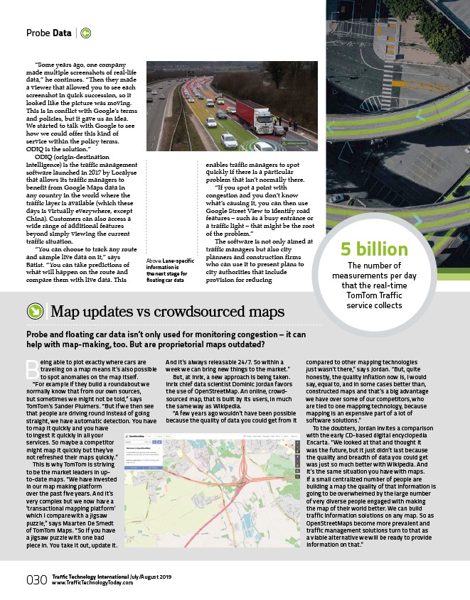
Above: Lane-specific
information is
the next stage for
floating car data
Being able to plot exactly where cars are
traveling on a map means it’s also possible
to spot anomalies on the map itself.
“For example if they build a roundabout we
normally know that from our own sources,
but sometimes we might not be told,” says
TomTom’s Sander Pluimers. “But if we then see
that people are driving round instead of going
straight, we have automatic detection. You have
to map it quickly and you have
to ingest it quickly in all your
services. So maybe a competitor
might map it quickly but they’ve
not refreshed their maps quickly.”
This is why TomTom is striving
to be the market leaders in upto
date maps. “We have invested
in our map making platform
over the past five years. And it’s
very complex but we now have a
‘transactional mapping platform’
which I compare with a jigsaw
puzzle,” says Maarten De Smedt
of TomTom Maps. “So If you have
a jigsaw puzzle with one bad
piece in. You take it out, update it.
And it’s always releasable 24/7. So within a
week we can bring new things to the market.”
But, at Inrix, a new approach is being taken.
Inrix chief data scientist Dominic Jordan favors
the use of OpenStreetMap. An online, crowdsourced
map, that is built by its users, in much
the same way as Wikipedia.
“A few years ago wouldn’t have been possible
because the quality of data you could get from it
compared to other mapping technologies
just wasn’t there,” says Jordan. “But, quite
honestly, the quality inflation now is, I would
say, equal to, and in some cases better than,
constructed maps and that’s a big advantage
we have over some of our competitors, who
are tied to one mapping technology, because
mapping is an expensive part of a lot of
software solutions.”
To the doubters, Jordan invites a comparison
with the early CD-based digital encyclopedia
Encarta. “We looked at that and thought it
was the future, but it just didn’t last because
the quality and breadth of data you could get
was just so much better with Wikipedia. And
it’s the same situation you have with maps.
If a small centralized number of people are
building a map the quality of that information is
going to be overwhelmed by the large number
of very diverse people engaged with making
the map of their world better. We can build
traffic information solutions on any map. So as
OpenStreetMaps become more prevalent and
traffic management solutions turn to that as
a viable alternative we will be ready to provide
information on that.”
Map updates vs crowdsourced maps
Probe and floating car data isn’t only used for monitoring congestion – it can
help with map-making, too. But are proprietorial maps outdated?
5 billion
The number of
measurements per day
that the real-time
TomTom Traffic
service collects
Probe Data |
030 Traffic Technology International July/August 2019
www.TrafficTechnologyToday.com
/www.TrafficTechnologyToday.com