| Connected Mapping
1747
The year the origins
of OS mapping can be
traced to – when Lnt-Col.
David Watson made a
military map of the
Scottish Highlands
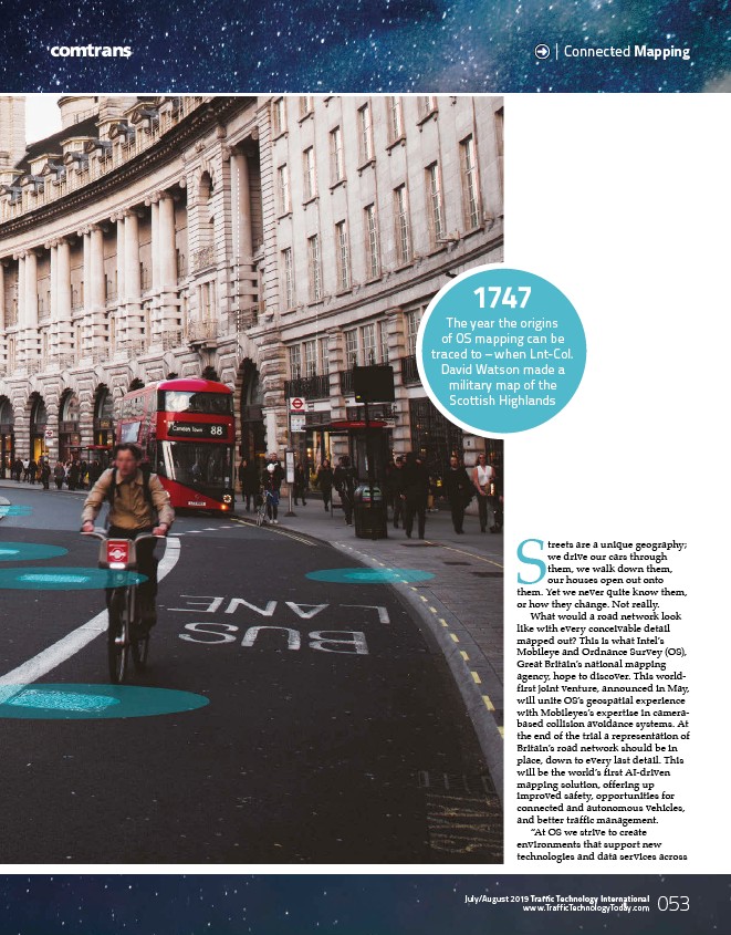
Streets are a unique geography;
we drive our cars through
them, we walk down them,
our houses open out onto
them. Yet we never quite know them,
or how they change. Not really.
What would a road network look
like with every conceivable detail
mapped out? This is what Intel’s
Mobileye and Ordnance Survey (OS),
Great Britain’s national mapping
agency, hope to discover. This worldfirst
joint venture, announced in May,
will unite OS’s geospatial experience
with Mobileyes’s expertise in camerabased
collision avoidance systems. At
the end of the trial a representation of
Britain’s road network should be in
place, down to every last detail. This
will be the world’s first AI-driven
mapping solution, offering up
improved safety, opportunities for
connected and autonomous vehicles,
and better traffic management.
“At OS we strive to create
environments that support new
technologies and data services across
www.TrafficTechnologyToday.com 053
July/August 2019 Traffic Technology International
/www.TrafficTechnologyToday.com