TOLLROADGIS
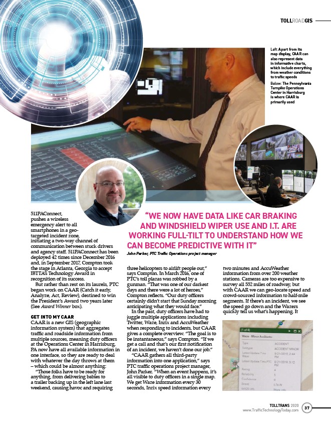
Left: Apart from its
map display, CAAR can
also represent data
in informative charts,
which include everything
from weather conditions
to traffi c speeds
Below: The Pennsylvania
Turnpike Operations
Center in Harrisburg
is where CAAR is
primarily used
TOLLTRANS 2020
www.TrafficTechnologyToday.com 37
511PAConnect,
pushes a wireless
emergency alert to all
smartphones in a geotargeted
incident zone,
initiating a two-way channel of
communication between stuck drivers
and agency staff . 511PAConnect has been
deployed 42 times since December 2016
and, in September 2017, Compton took
the stage in Atlanta, Georgia to accept
IBTTA’s Technology Award in
recognition of its success.
But rather than rest on its laurels, PTC
began work on CAAR (Catch it early,
Analyze, Act, Review), destined to win
the President’s Award two years later
(See Award Winner box).
GET INTO MY CAAR
CAAR is a new GIS (geographic
information system) that aggregates
traffi c and roadside information from
multiple sources, meaning duty offi cers
at the Operations Center in Harrisburg,
PA now have all available information in
one interface, so they are ready to deal
with whatever the day throws at them
– which could be almost anything:
“Those folks have to be ready for
anything, from delivering babies to
a trailer backing up in the left lane last
weekend, causing havoc and requiring
“WE NOW HAVE DATA LIKE CAR BRAKING
AND WINDSHIELD WIPER USE AND I.T. ARE
WORKING FULLTILT TO UNDERSTAND HOW WE
CAN BECOME PREDICTIVE WITH IT”
John Parker, PTC Traffi c Operations project manager
three helicopters to airlift people out,”
says Compton. In March 2016, one of
PTC’s toll plazas was robbed by a
gunman. “That was one of our darkest
days and there were a lot of heroes,”
Compton refl ects. “Our duty offi cers
certainly didn’t start that Sunday morning
anticipating what they would face.”
In the past, duty offi cers have had to
juggle multiple applications including
Twitter, Waze, Inrix and AccuWeather
when responding to incidents, but CAAR
gives a complete overview. “The goal is to
be instantaneous,” says Compton. “If we
get a call and that’s our fi rst notifi cation
of an incident, we haven’t done our job.”
“CAAR gathers all third-party
information into one application,” says
PTC traffi c operations project manager,
John Parker. “When an event happens, it’s
all visible to duty offi cers in a single map.
We get Waze information every 30
seconds, Inrix speed information every
two minutes and AccuWeather
information from over 200 weather
stations. Cameras are too expensive to
survey all 552 miles of roadway, but
with CAAR we can geo-locate speed and
crowd-sourced information to half-mile
segments. If there’s an incident, we see
the speed go down and the Wazers
quickly tell us what’s happening. It
/www.TrafficTechnologyToday.com