CYBER SECURITY
software and embedded devices. SwRI has been developing
automated vehicles (AVs) for over 10 years and has 30
vehicles in our research fleet. We also develop software
and sensor solutions for unmanned aerial vehicles (UAV)
that enable automated inspections of hazardous facilities.
Automating UAVs, drones, and ground vehicles requires
the fusion of algorithms with several sensing technologies,
including machine vision, light detection and ranging
(LiDAR), GPS and path planning.
GPS SPOOFING
GPS plays different roles in navigation and route planning
for both aerial drones and unmanned ground vehicles.
Automated ground vehicles do not always rely on GPS for
navigation or localization. They can use several sensing
technologies, including LIDAR and camera vision, in
addition to humans as backup drivers. However, many
UAVs and drones use GPS extensively for position, altitude
24 SHOWCASE 2020 \\ AEROSPACETESTINGINTERNATIONAL.COM
and other flight control parameters. Safety and reliability
are a growing concern as drones, both manned and
unmanned, are increasingly used in place of manned
aircraft for inspections of critical energy infrastructure or
military applications.
The fact that drones rely heavily upon GPS means that
signal interference becomes a dominant issue when
evaluating safety hazards. GPS signal interference can be
caused by large buildings, mountainous terrain, major
storms and GPS receiver errors. GPS spoofing, or malicious
attacks, can also interfere with GPS signals. An attacker
can block GPS data or transmit inaccurate coordinates
using inexpensive, readily available radio devices. While
GPS spoofing typically happens in research labs, there
have been reported cases of GPS spoofing happening in
real-world cases of cyber warfare.
The various industries dependent on GPS must
evaluate the vulnerability of GPS receivers and their
“As the vital role GPS plays
in many modern-day systems
continues to grow, exposing
any inherent vulnerabilities
of GPS is critical”
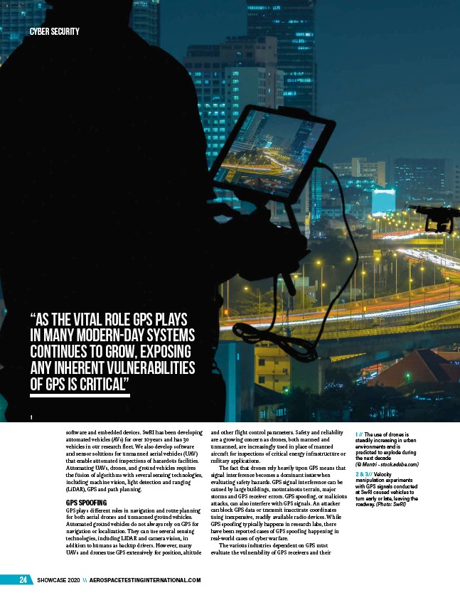
1 // The use of drones is
steadily increasing in urban
environments and is
predicted to explode during
the next decade
(© Montri - stock.adobe.com)
2 & 3// Velocity
manipulation experiments
with GPS signals conducted
at SwRI caused vehicles to
turn early or late, leaving the
roadway. (Photo: SwRI)
1
/AEROSPACETESTINGINTERNATIONAL.COM
/stock.adobe.com